Folded, Creased, and Completely Freeing: How Young Travelers Are Falling Back in Love with Paper Maps
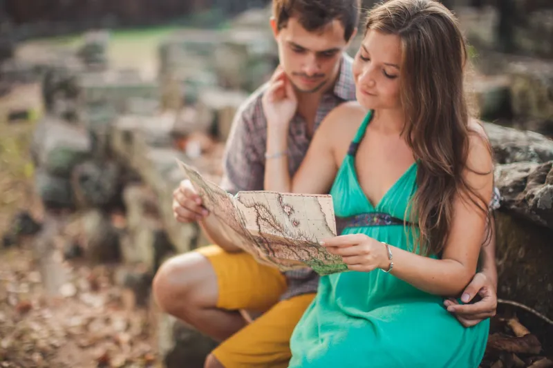
Walk into any REI, national park welcome center, or well-stocked travel bookshop these days, and you might catch yourself doing a double-take. Standing at the map rack, unfolding a wide, gloriously detailed sheet of paper, is someone who almost certainly has a perfectly functional smartphone in their pocket. And they're probably in their mid-twenties.
It sounds counterintuitive. This is the generation that grew up with Google Maps narrating their every turn. And yet, a quiet but real shift is happening among younger American travelers — a deliberate, almost rebellious return to analog navigation. Paper maps are having a moment, and honestly? It makes complete sense.
The Tyranny of the Blue Dot
Here's something worth sitting with: when you follow a GPS, you're not really going anywhere. You're being delivered. There's a meaningful difference between those two things, and more travelers — especially younger ones — are starting to feel it.
The blue dot on your screen tells you exactly where you are at all times. It reroutes you around inconvenience. It strips away uncertainty. And in doing so, it also strips away discovery. That taqueria on a side street in San Antonio, the overlook that wasn't on any itinerary in Glacier National Park, the neighborhood that smells like bread and sounds like a block party in New Orleans — none of that shows up when you're staring at turn-by-turn directions.
A paper map doesn't care about efficiency. It just shows you the world, and lets you figure out your place in it.
Why Gen Z Is Leaning Analog
It would be easy to write this off as nostalgia — but that explanation doesn't quite hold. You can't feel nostalgic for something you never really experienced. Most people under 30 in the US grew up in the GPS era. So what's driving this?
A few things, actually.
First, there's the very real phenomenon of digital fatigue. After years of screens — remote school, remote work, endless scrolling — a lot of young people are actively seeking experiences that don't require a battery. Travel, for many of them, is one of the last sanctuaries from constant connectivity. Pulling out a paper map is a small but meaningful act of opting out.
Second, there's the aesthetic dimension. Let's not underestimate it. Paper maps are beautiful. The topographic lines of a USGS quad map, the illustrated cartouches on a vintage state highway map, the dense, layered geography of a well-made city map — these are objects that reward attention. They hang on walls. They get tucked into journals. They become souvenirs in a way that a screenshot never will.
And third — perhaps most importantly — paper maps make you better at being somewhere. When you have to orient yourself using landmarks, compass directions, and spatial reasoning, you build a mental model of a place that GPS simply doesn't create. You remember where things are. You understand how neighborhoods connect. You leave with a sense of the place's actual shape.
Getting Lost Is the Point
There's a phrase that gets tossed around a lot in travel writing: embrace getting lost. It usually sounds like a platitude. But with a paper map in hand, it becomes something genuinely practical.
When you're navigating by map, wrong turns aren't failures — they're data. You recalibrate, you look around, you notice things. In a city like Chicago or Portland or Washington D.C., wandering with a folded map and a loose plan leads you somewhere real, somewhere that belongs to the people who actually live there, not just the tourists who followed the same algorithmic path.
This is something Paula Scher has long understood: a map is not just a navigation tool. It's an argument about what matters, what's worth naming, what's worth finding. Every map makes choices. And when you engage with those choices as a traveler, you engage more deeply with the destination itself.
How to Actually Use a Paper Map (Without Panicking)
If you haven't navigated by paper in a while — or ever — here are a few honest tips to make it work for you.
Start with the right map for your trip. A road atlas is great for cross-country drives (Rand McNally's still publishes a solid one). For hiking, USGS topographic maps are the gold standard, and you can download and print custom sections at mytopo.com. For cities, look for locally published maps — many independent bookshops and visitor centers stock maps made by local publishers that include things big commercial maps skip entirely.
Orient before you move. Before you start walking or driving, find a landmark you can see and locate it on the map. North doesn't always feel like north until you've done this a few times. Give yourself that grounding moment.
Use the map to ask questions, not just answer them. See a road that curves unexpectedly? Wonder why. Notice that all the streets in one neighborhood follow a grid while the ones nearby don't? That's history showing up in geography. A paper map invites curiosity in a way that a GPS screen doesn't.
Let yourself be approximate. GPS has trained us to expect pinpoint precision. A paper map works in ranges and estimates. That's not a bug — it's the feature. Being roughly here, heading generally that way, is often enough. And it keeps your eyes up.
Keep your phone as a backup, not a crutch. Nobody's saying throw your smartphone into the Pacific. Bring it. Use it if you're genuinely stuck. But make the paper map your first instinct, and notice how your experience of a place changes when you do.
A Different Kind of Travel Souvenir
There's one more thing worth mentioning. At the end of a trip, a well-used paper map is something you can hold. It's got creases from being folded wrong in the rain outside a coffee shop in Asheville. There's a coffee ring on the corner from that morning in the hotel lobby. Maybe you circled a restaurant or wrote a friend's name next to a street you walked together.
That map is a record of a trip in a way that your phone's location history never will be.
The GPS will always know where you went. But the paper map will remind you of how it felt to figure it out yourself.
And that, in the end, is the whole point of going somewhere.