Ghost Names and Vanished Towns: What Old Maps Tell Us About the America That Got Erased
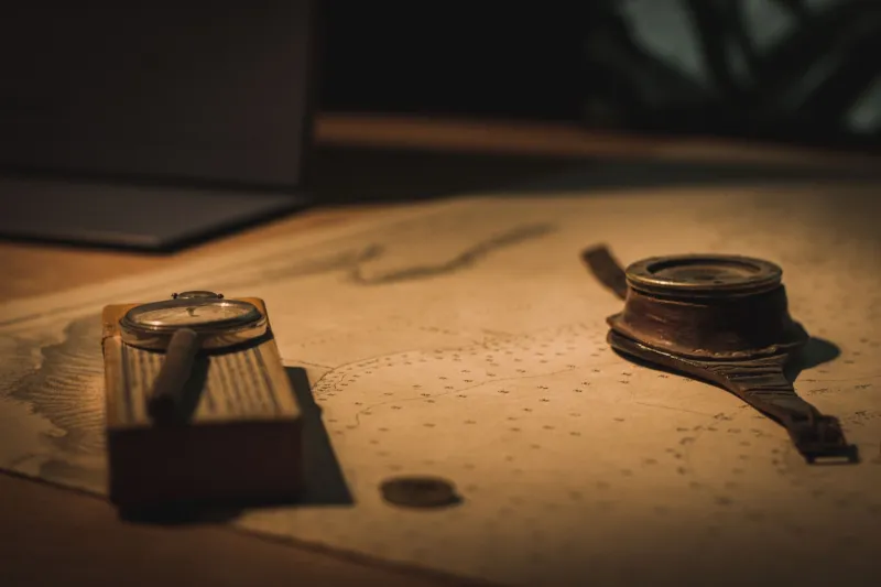
Spread an 1850s General Land Office survey map across your kitchen table and give it a few minutes. Really look at it. You'll start to notice things that feel wrong — town names you've never heard of sitting where familiar cities now stand, rivers labeled with words that sound nothing like their modern names, entire counties drawn with borders that got redrawn, erased, and redrawn again before anyone was paying close attention.
That's not cartographic error. That's history doing what it always does: leaving fingerprints on the landscape, even when someone tried to wipe them clean.
Here at Paula Scher's Maps, we believe that every journey starts with a map — but some of the most important journeys are the ones that take you backward through the layers of geography itself. Old maps are one of the best tools we have for understanding what America chose to remember, and more importantly, what it chose to forget.
The Names That Disappeared
Before European settlers arrived with their surveying chains and their confidence, the North American continent was already densely mapped — not on paper, but in language. Indigenous place names encoded geography with startling precision. The word Mississippi comes from the Ojibwe misi-ziibi, meaning "great river." Chicago derives from a Miami-Illinois word for a place where wild onions grew. Chesapeake traces back to an Algonquian term describing a great shellfish bay.
Those names survived, but thousands didn't. Pull up the David Rumsey Map Collection online — it's free, it's extraordinary, and it will absolutely derail your afternoon — and search for maps of the Ohio Valley from the late 1700s. You'll find settlements labeled with Indigenous names that appear on exactly one or two survey documents before vanishing, replaced by names honoring British generals, Revolutionary War heroes, or the surveyors themselves.
This wasn't accidental. Renaming a place is one of the quietest and most effective ways to rewrite who it belonged to.
Towns That Thrived and Then Just... Stopped
Not every disappearance was an act of erasure. Some towns simply ran out of reasons to exist.
Atlanta, Illinois — not the Georgia city, but a small farming community in Logan County — still exists, barely. But scan an 1870s railroad map of central Illinois and you'll find dozens of towns nearby that were plotted with the same optimism as any major city, complete with numbered blocks and named streets, that are now nothing but a grain elevator and a memory. The railroads gave them life; rerouted lines took it away.
The same story plays out differently in the West. Mining towns in Colorado, Nevada, and Montana bloomed overnight when ore was discovered and collapsed just as fast when it ran out. Maps from the 1880s show places like Garnet, Montana or St. Elmo, Colorado with post offices, saloons, hotels, and populations in the thousands. Today they're ghost towns preserved mainly for tourists — and for the maps that documented them at their peak.
There's something quietly devastating about finding a bustling town on an old map and knowing that if you drove to those exact coordinates today, you'd find an empty field or a stand of pines.
Redrawn Borders and the Politics of Lines
State borders look permanent on modern maps. They're not. They never were.
The original borders of Georgia extended all the way to the Mississippi River — a claim the state aggressively defended until 1802, when it finally ceded its western territories to the federal government. Those territories became Alabama and Mississippi. Maps from the 1790s show a Georgia that looks almost unrecognizable to modern eyes, stretching across what we'd now call the Deep South.
Or consider the proposed state of Franklin, which existed briefly in the 1780s in what is now eastern Tennessee. It had a governor, a legislature, and enough ambition to petition for statehood. It appears on some period maps as a real place — and then it doesn't. Congress rejected the petition, the state dissolved, and Franklin became a footnote that only shows up if you go looking for it in the archives.
These aren't just historical curiosities. They're evidence that the map we inherit is a political document as much as a geographic one. Every line on it represents a negotiation, a conflict, or a decision made by people with specific interests.
What Modern Maps Are Still Getting Wrong
It would be comfortable to believe that contemporary cartography has sorted all this out — that our GPS-perfect digital maps are finally neutral. But spend a few minutes with a map of the Dakotas and compare the reservation boundaries to the surrounding county lines. The geometry tells a story about land cessions, broken treaties, and the compression of sovereign nations into increasingly small spaces over the course of the 19th century.
Or look at how modern maps label — or fail to label — Black communities that were destroyed during the era of racial violence. Greenwood, the Tulsa neighborhood known as Black Wall Street before the 1921 massacre, appears on maps today as a neighborhood name. But the maps from 1920 show a thriving, self-contained city-within-a-city that was systematically burned and never fully rebuilt. The label survived. The place it described did not.
How to Start Your Own Map Archaeology
You don't need a library card to start digging. The David Rumsey Map Collection (davidrumsey.com) offers tens of thousands of historical maps in high resolution. The Library of Congress has digitized its entire map collection, including Sanborn fire insurance maps that document American towns block by block from the 1860s onward. Old Maps Online aggregates maps from dozens of archives into a single searchable interface.
The exercise is simple: find a place you know well, pull up the oldest map you can find of it, and start comparing. Look for the names that changed. Look for the towns that disappeared. Look for the borders that moved.
You might think you're just satisfying curiosity about local history. But what you're actually doing is reading the landscape as a document — one that was written, revised, and selectively edited by every generation that came before us.
That's what maps do, when you let them. They don't just show you where things are. They show you what we decided to remember, and what we quietly let go.