Maps Don't Translate Themselves: A US Traveler's Guide to Navigating the World Beyond Our Borders
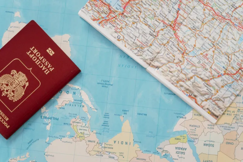
Here's a scenario that plays out at international borders more often than anyone admits: an American traveler crosses into a new country, pulls up their usual navigation app, and promptly makes three wrong turns because the road marked as a "highway" on their digital map is a two-lane mountain road with no shoulder and a speed limit posted in kilometers. The map wasn't wrong, exactly. The traveler just didn't know how to read it in a new context.
Navigation is a language. Like any language, it has dialects — and when you cross an international border, the dialect shifts. If you're heading to Canada, Mexico, or anywhere beyond US soil, a little cartographic literacy before you go will save you a lot of confusion once you're there.
Why American Maps Have Spoiled Us
The United States has one of the most standardized road systems in the world. The interstate highway numbering system, the green-and-white sign conventions, the consistent use of mile markers — these are the product of decades of federal coordination, and we've internalized them so thoroughly that we barely notice them anymore.
That standardization is genuinely useful at home. Abroad, it becomes a liability, because we assume navigation works the same way everywhere. It doesn't.
Crossing into Canada: Closer Than You Think, Different Than You Expect
Canada and the US share more cartographic DNA than any other two countries, which is exactly why the differences catch people off guard.
Distances are in kilometers. This sounds obvious until you're on the Trans-Canada Highway and your paper map shows "Ottawa: 180 km" and your brain keeps trying to calculate it as miles. On most digital maps you can switch units in settings — do this before you leave the US, not while merging onto a highway.
Provincial highway symbols vary. Federal highways in Canada use a maple leaf shield that's easy to recognize. But provincial routes use different shapes depending on the province — Ontario uses a white shield, British Columbia uses a pennant, Quebec uses a blue rectangle. If you're driving across multiple provinces, take five minutes to look up each province's highway marker before you go.
Maps may not show all seasonal roads. In northern Canada especially, some roads are only passable in winter (ice roads) or summer, and standard digital maps don't always flag this clearly. If you're heading anywhere remote, cross-reference with provincial transportation department websites.
Paper maps are still sold at gas stations near the border. Buy one. Cell coverage in rural Canada can be surprisingly patchy, and a provincial road map costs about the same as a coffee.
Crossing into Mexico: A Cartographic Vocabulary Lesson
Mexico's road system is extensive and, in many areas, genuinely excellent — but it operates on a different logic than the US grid, and its maps require a slightly different reading strategy.
"Libre" versus "cuota" is the most important distinction on any Mexican road map. Libre means free road; cuota means toll road. The toll roads (usually marked as autopistas or with a "D" designation, for de cuota) are generally faster, better maintained, and worth the pesos. The free roads are often scenic and interesting but significantly slower. On digital maps, always check which type of road your route uses before committing.
Mexican highway numbering doesn't follow the US odd/even logic. In the US, odd-numbered interstates run north-south and even ones run east-west. Mexican federal highways (carreteras federales) use a numbering system that doesn't map onto direction in the same way. Don't try to intuit your direction from the route number — use cardinal directions and landmarks instead.
Gas stations are not evenly distributed. Unlike the US, where you can generally count on a gas station every 20 miles or so on any major road, rural Mexico has longer gaps between stations. On any road map, note the towns marked with a gas station symbol and plan accordingly. Running low on fuel in a remote area of Oaxaca or Chihuahua is a significantly more stressful experience than doing the same on an Iowa interstate.
City maps in Mexico use colonia (neighborhood) designations heavily. If you're navigating within a Mexican city, addresses include the colonia name, which functions like a neighborhood or district. A good city map — paper or digital — should show colonia boundaries. Google Maps handles this reasonably well; Apple Maps is spottier.
Beyond North America: General Principles for Reading Foreign Maps
If you're heading to Europe, South America, Asia, or beyond, a few universal principles apply regardless of destination.
Learn the map legend before you need it. Every country's official road maps use slightly different symbols for rest areas, hospitals, fuel stops, and points of interest. Spend ten minutes with the legend before you start driving — not after you've missed an exit.
Color conventions for roads vary internationally. In the US, interstate highways are typically shown in red or blue on road maps. In the UK, motorways are blue and A-roads are red. In Germany, autobahns are blue and federal roads are yellow. These aren't random choices — they follow each country's own sign color conventions — but they're different from what American eyes expect.
Contour lines are universal. If you're reading a topographic map anywhere in the world, contour lines work the same way: lines close together mean steep terrain, lines far apart mean gentle slopes. This is one piece of cartographic language that genuinely doesn't need translation.
Offline maps are non-negotiable for international travel. Download your destination's maps in Google Maps or Maps.me before you leave your hotel's WiFi. Data roaming abroad can be expensive, coverage is inconsistent, and the one moment you absolutely need navigation is usually the moment you have no signal.
The Bigger Picture: Maps as Cultural Documents
Here's something worth sitting with before your next international trip: a country's maps reflect its values and its history. French maps emphasize cultural heritage sites in a way American maps don't. Japanese maps include extraordinary detail about transit systems that reflects how central rail travel is to daily life there. Mexican maps often label geographic features — mountain ranges, river systems, desert regions — with a specificity that reflects deep relationship with the physical landscape.
When you learn to read a foreign map on its own terms rather than translating it through an American lens, you're not just improving your navigation. You're beginning to understand the place before you've even arrived.
That's what a good map does. It tells you where you're going — and starts telling you what to expect when you get there.